

Warscope
Web-based platform that analyzes and visualizes real-time war and crisis data on a global map.
- 01Winner, TEKNOFEST 2024 Champions League
- 02Real-time data visualization
- 03World map integration
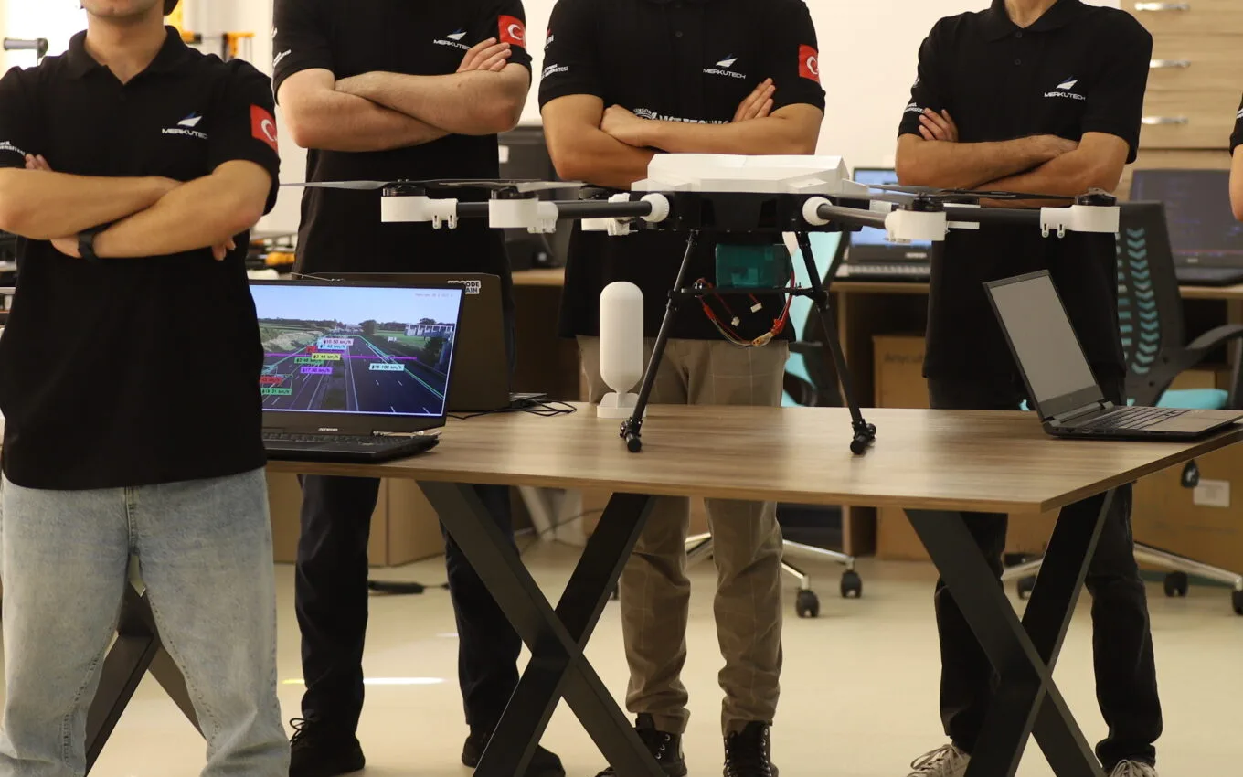
Police Drone System
AI-powered advanced UAV solution providing field support to security forces.
- 01Live image transmission
- 02AI-powered analysis
- 03License plate recognition system
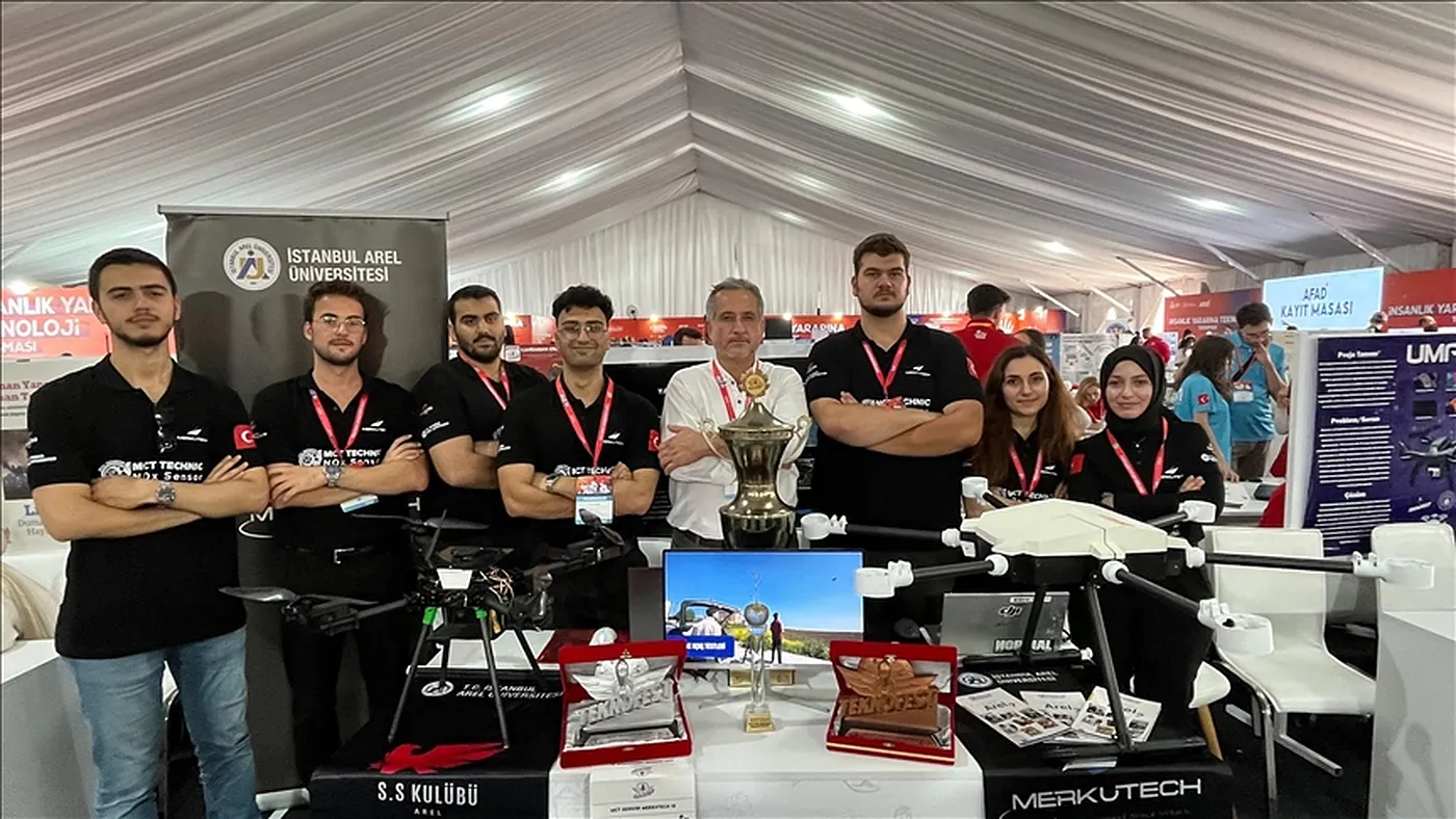
F-Rone UAV System
Autonomous unmanned aerial vehicle used in fire and disaster zones, capable of 3D mapping and fire coordinate detection.
- 013D mapping system
- 02Fire coordinate detection
- 03Image processing technologies
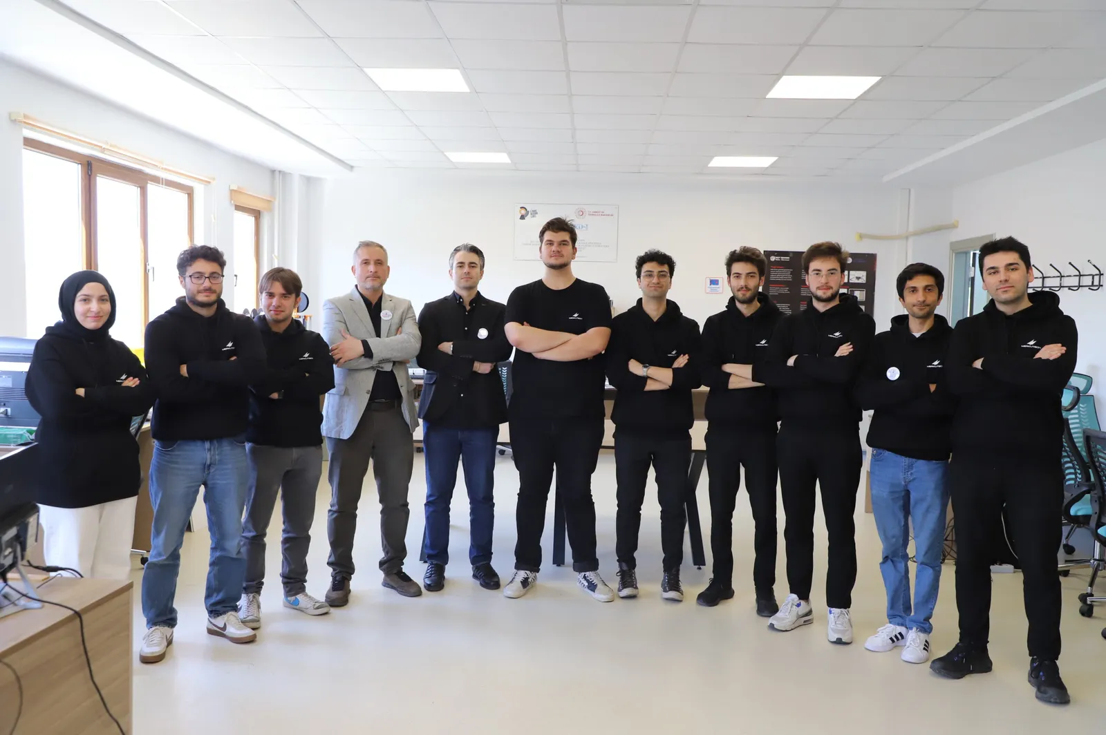
T-Rone
System equipped with autonomous control systems and intelligent movement mechanism, finalist in innovation competitions.
- 01Autonomous control systems
- 02Intelligent movement mechanism
- 03Competition-driven engineering approach
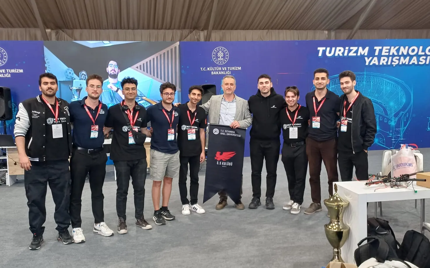
AquaVista
Drone-based 3D mapping and virtual museum technology for exploring and protecting underwater ecosystems.
- 01Runner-up, Teknofest TRNC 2025 Tourism Technologies
- 02Drone-based 3D mapping
- 03Virtual museum technology
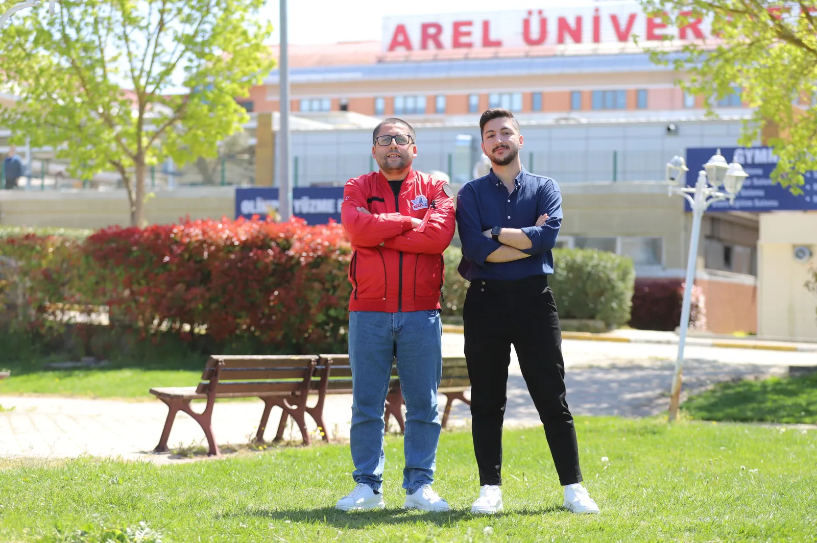
BioDivMap
A drone-based project for monitoring and modelling biodiversity in protected areas.
- 01Finalist, Teknofest TRNC 2025
- 025G communication
- 03Real-time image processing
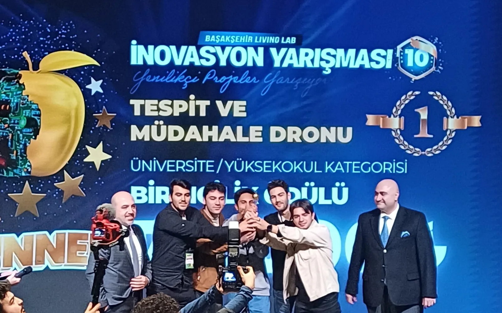
Detection and Intervention Drone
A drone that detects and analyses fires early and responds to small fires at once with extinguisher capsules. The team's first project.
- 01Winner, 10th Innovation Competition, University Category
- 02Early fire detection and analysis
- 03Extinguisher capsule release
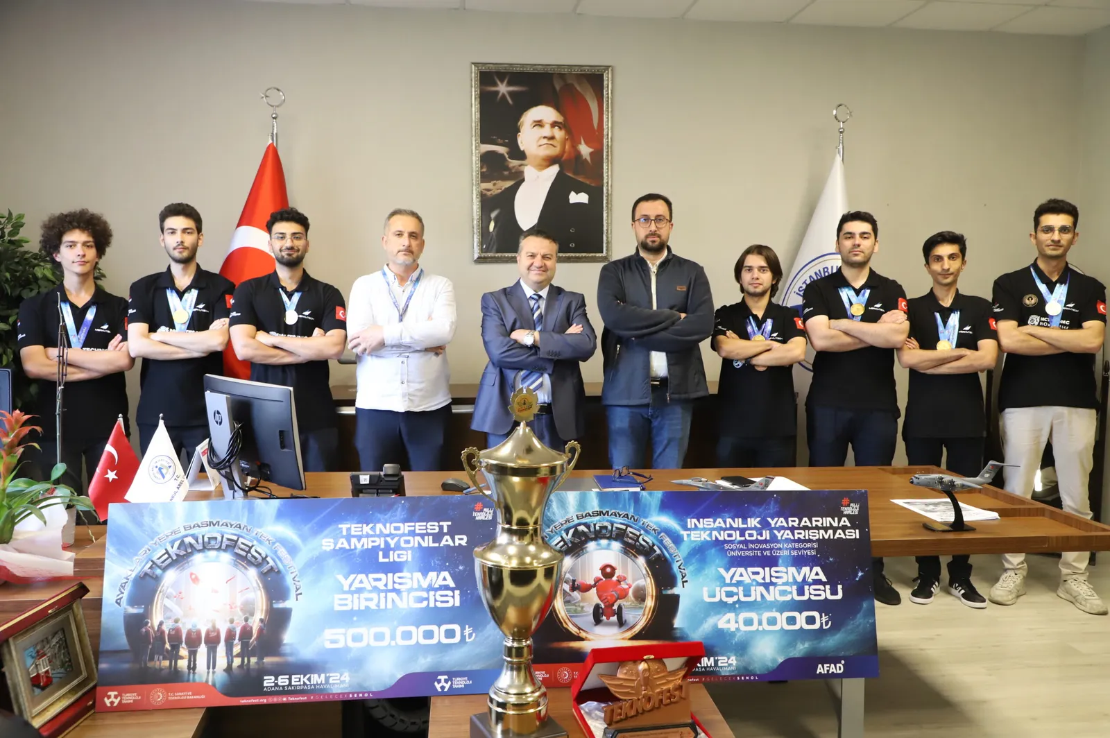
Technology for Humanity
Social benefit-focused technology projects in disaster management, data analysis, and autonomous systems.
- 01AI-powered systems
- 02Social benefit-focused approach
- 03Disaster and crisis management solutions