
All Projects
F-Rone UAV System
Autonomous unmanned aerial vehicle used in fire and disaster zones, capable of 3D mapping and fire coordinate detection.
About the Project
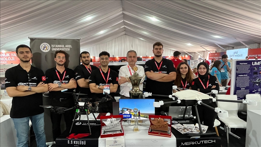
F-Rone is an autonomous unmanned aerial vehicle system developed for use in fire and disaster zones. The system can create three-dimensional maps of disaster areas and instantly detect fire coordinates through image processing algorithms. Aimed at providing rapid analysis and coordination support in disaster management processes, the project stands out with its autonomous flight capabilities.
Key Features
3D mapping system
Fire coordinate detection
Image processing technologies
Autonomous flight support
Disaster management-focused use